Manhole Covers of Oakhurst, California
Created 9 July 2006
This page was last updated on 30 January 2011
All photos copyrighted by David L. Magney 2006
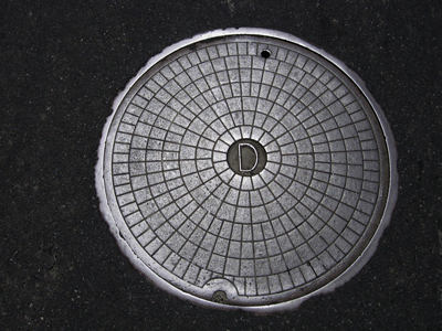
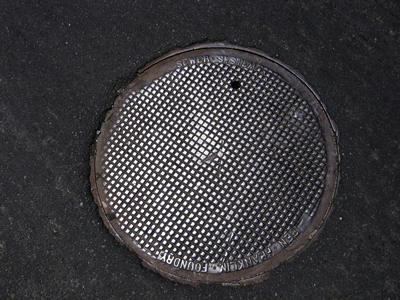
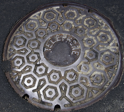
This is a study of manhole covers from Oakhurst, Madera County, California.
Counter Stats

aircraft charter Counter
Manhole Covers of Oakhurst, Madera County, California
Oakhurst is a small rural mining (now tourist) community in the Madera County in the Sierra Nevada foothills, at an average elevation of around 2,247 feet above sea level. Oakhurst was a Gold Rush town, but was more of a support to the Gold Rush by providing lumber and food. Oakhurst was originally named Fresno Flats, but changed to Oakhurst to bury its past legacy of a stagecoach robbery. Oakhurst (Fresno Flats) was founded in 1850s, but remained unincorporated. Oakhurst currently has a population of about 2,868 people (2000). Oakhurst citizens are composed of 87.6% Caucasians, 9.9% Hispanics, 2.9% Native American, and 1.1% Asians. The median household income for Oakhurst residents is $27,679 and the per capita income is $16,851.
Oakhurst is now known most famously as the southern gateway to Yosemite National Park. Two highways pass through Oakhurst, State Routes 41 and 49. SR49 starts (at the south end) in Oakhurst. The average commute time for working Oakhurst residents is 21 minutes, indicating that a large percentage works out of town. Oakhurst Creek passes through town. I surveyed to flora along SR41 in the early 1990s from Blackwell's Corner to Oakhurst on behalf of Caltrans as part of a study by Caltrans to widen SR41 to four lanes, to serve the tourist traffic to Yosemite. SR41 is still only two lanes. Additional information about Oakhurst can be found at Oakhurst Info and at the Official Oakhurst Chamber of Commerce site.
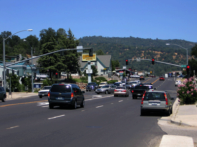
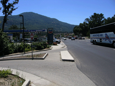
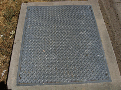
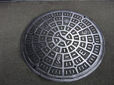
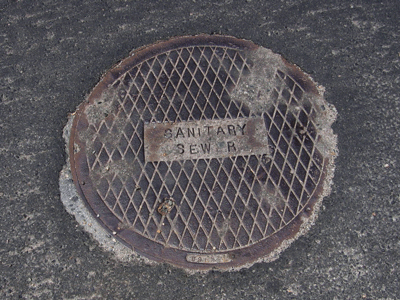
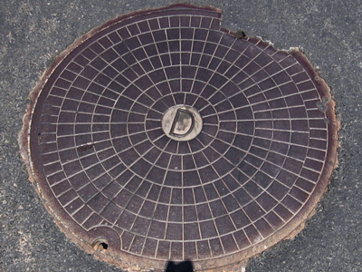
I found seven varieties of covers in Oakhurst.
Previous Page |
Next Page
David's Manhole Covers Home Page
David's Biogeography/Photography Home Page
David Magney Environmental Consulting Home


