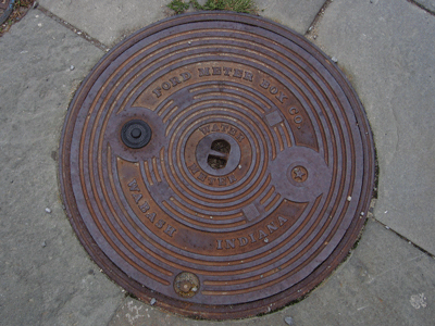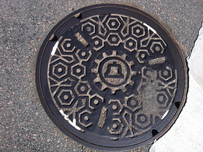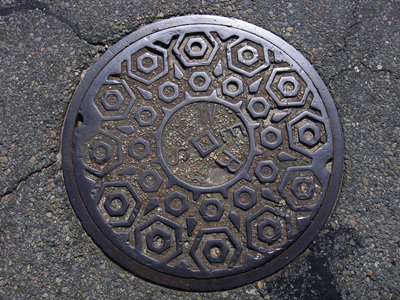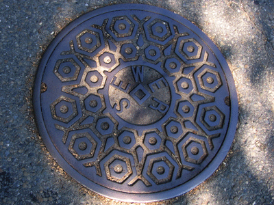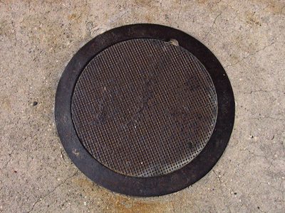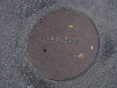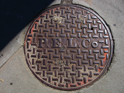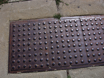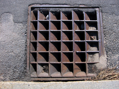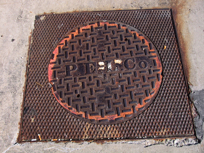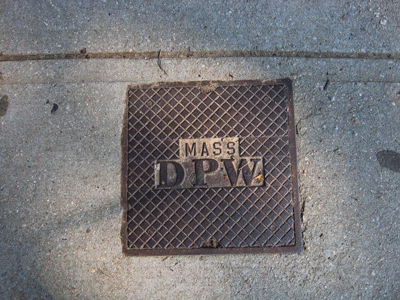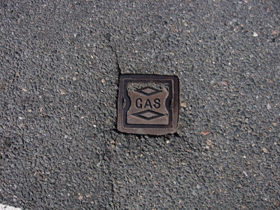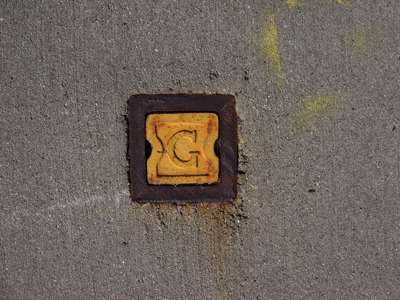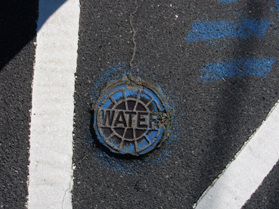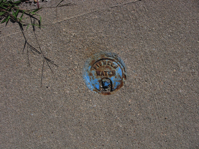
This is a study of manhole covers from Plymouth, Massachusetts.


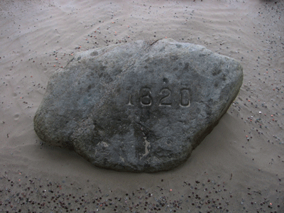
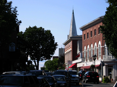
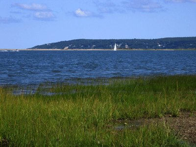
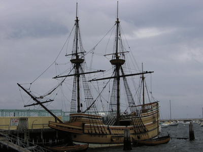
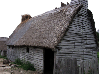
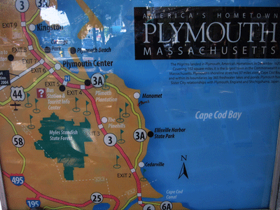
The Town of Plymouth is located on the South Shore, east/across the bay from the Cape peninsula, about 40 miles south of Boston. Plymouth is a resort city established by English explorers and settlers to the region in 1620. It was the first colonial settlement in Massachusetts, establish by Puritan Pilgrams escaping English religious persecution, from the Church of England. The community was founded in 1620, originally called Plimouth, after the landing of the Mayflower. It became an important ropemaking center, supporting a thriving sea transport/fishing industry along the New England Coast through the 1900s, now supplanted by tourism. The Town of Plymouth was incorporated in 1620 and is in Plymouth County. The only nuclear power plant in Massachusetts is in Plymouth. As can be seen on the map below, Plymouth is located on the eastern part of the state.
Plymouth currently has a population of about 56,468 people (2010). Plymouth citizens are composed of 94.82% Caucasians, 1.68% Hispanics, 0.25% Native American, 0.57% Asian, and 1.91% Black. The median household income for Plymouth residents is $54,677 and the per capita income is $23,732. About 23.8% of Plymouth residents have a Bachelor's degree or higher.
Plymouth, other than the home to Native Americans prior to the arrival of the French fur traders and English explorers, was first settled as an English investment enterprize by Puritans, financed by the Massachusetts Bay Company, manned primarily by persecuted Christians who did not conform to the Church of England doctrine. Plymouth became an important port for emigrants primarily from England and trade during the late 1600s through the early 1900s.
There are two highways passing through or terminating in Plymouth, Route 3 (Pilgrims Highway - the main highway between Cape Code and Boston) and U.S. Route 44, which has its eastern terminus in Plymouth. A seasonal ferry sails between Plymouth and Provincetown located at the northern tip of Cape Code. Additional information about Plymouth can be found at Plymouth Info and at the Official Plymouth site.