Manhole Covers of Smartsville, California
Created 18 February 2008
This page was last updated on 30 November 2008
All photos copyrighted by David L. Magney 2008
Manhole Covers of Smartsville, Yuba County, California
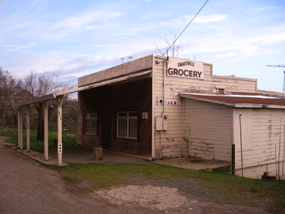
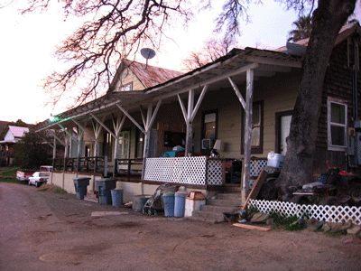
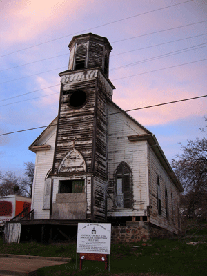
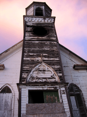
Smartsville (incorrectly spelled Smartville) is a small mining town in the foothills of the Sacramento Valley, the northern portion of California's Central Valley, at an average elevation of 1,750 feet above sea level. Smartsville was founded in 1856, and is an unincorporated town near the eastern boundary of Yuba County. It is named for its founder, James Smart, who was a miner. Smartsville currently has a population of about 1,833 people (2000).
Smartsville has grown little in the last 20 years. Besides mining, which has long ceased as an important economic resource for the town, cattle ranching is the primary agricultural industry supporting the town, besides the close proximity to Beale Air Force Base a few miles to the south.
One highway passes through Smartsville, State Route 20. The Yuba River flows a short distance to the north of town. Smartsville is the gateway to the California Department of Fish & Game's Spenceville Wildlife Area, a 11,448-acre preserve. Additional information about Smartsville can be found at Smartsville Info and at the Official Smartsville site. Look here for information about the Smartsville Cemetery.
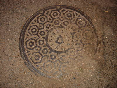
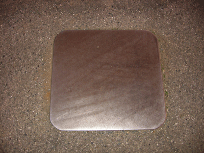
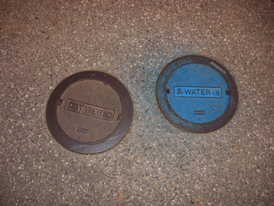
Smartsville really only has one manhole cover, for the telephone cables. The square manhole cover is a bit smaller, as if for the Nevada Irrigation District. The smallest utility covers are to access water line values.
Previous Page |
Next Page
Magney's Manhole Covers Home Page
Magney's Biogeography/Photography Home Page
David Magney Environmental Consulting Home