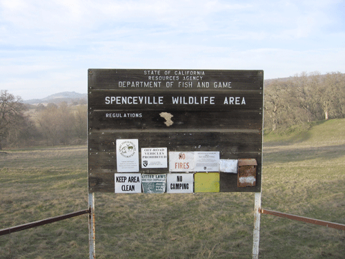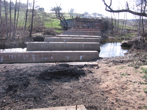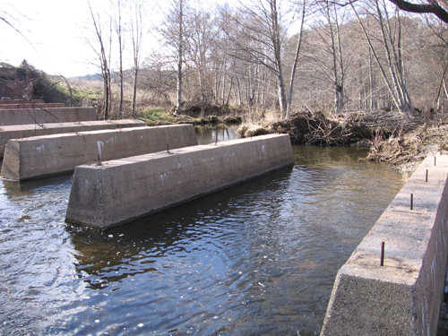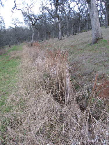
A number of dirt roads and even more trails provides yearround access to the streams and hills of the preserve. Spenceville was first settled by European (American) miners, searching for and mining gold and mostly copper. It was the copper mine at Spenceville that gave life to the former community, now entirely gone. However, the tailings from the played-out mine linger, and many taxpayer dollars are spent to contain, clean up, and reclaim the mine.
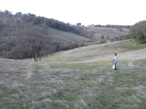
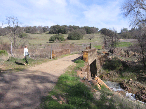
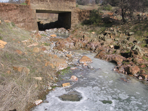
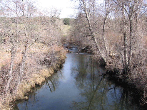
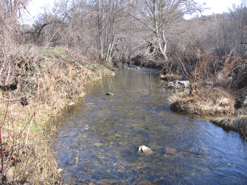
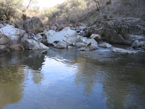
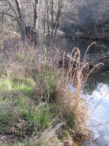
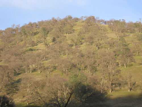
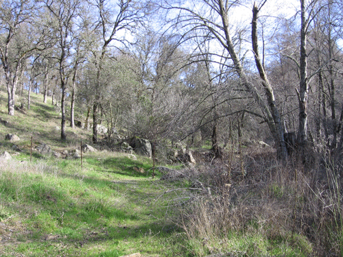
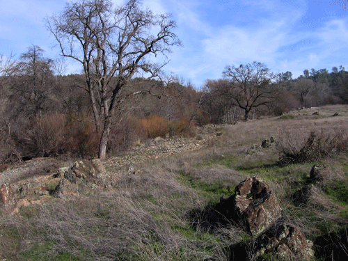
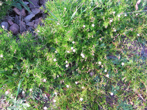
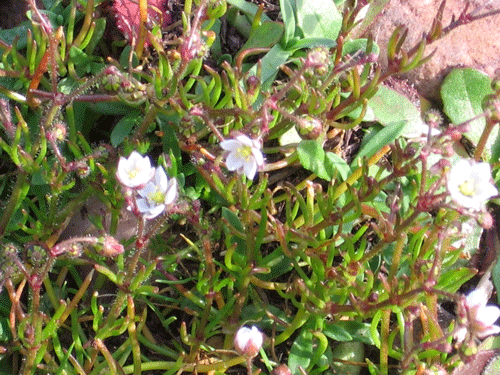
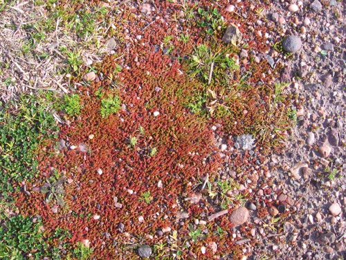
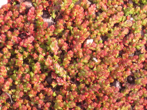
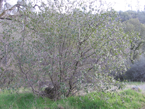
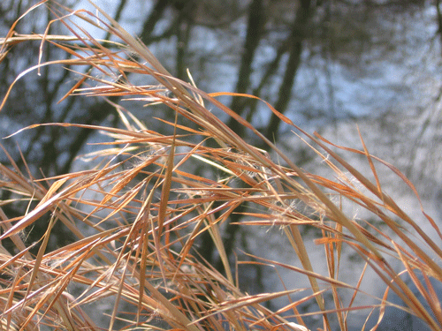
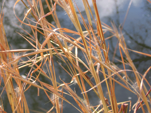
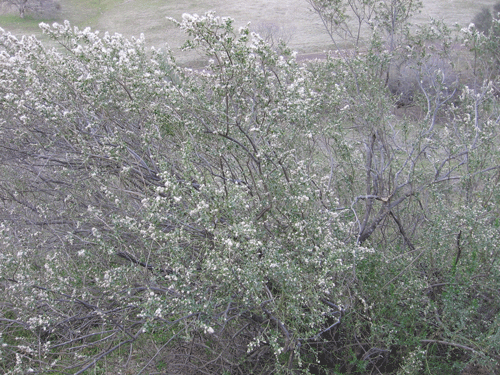
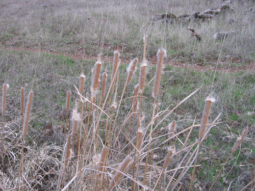
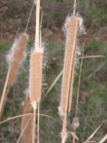
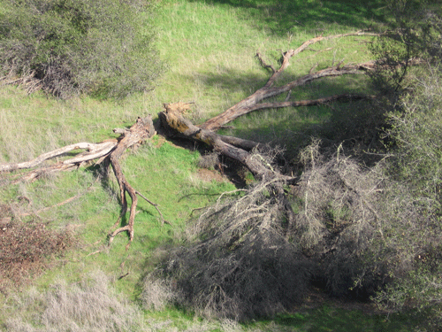
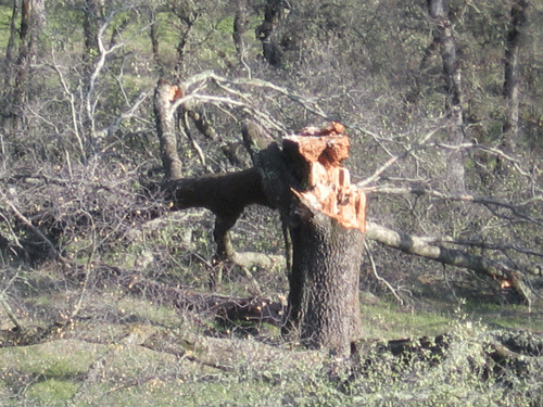
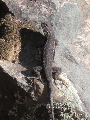
Spenceville Wildlife Area is located in the western foothills of the northern Sierra Nevada. Spenceville Wildlife Area is located in the northern part of the Sierra Nevada Foothills floristic province, adjacent to the Sacramento Valley floristic province. Spenceville is dominated by mixed conifer forest and oak woodlands, California Annual Grassland, and riparian woodlands along the streams, such as perennial Dry Creek. See the Friends of Spenceville website for more information.
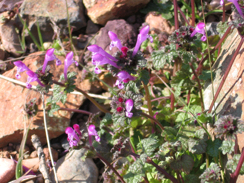
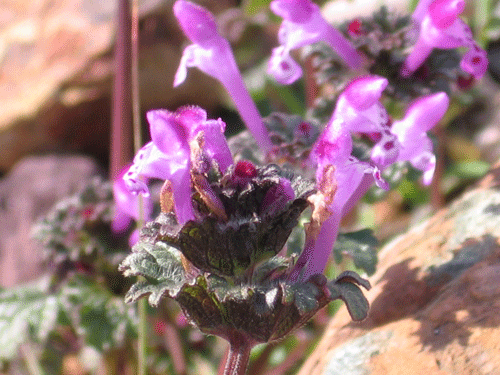
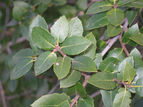
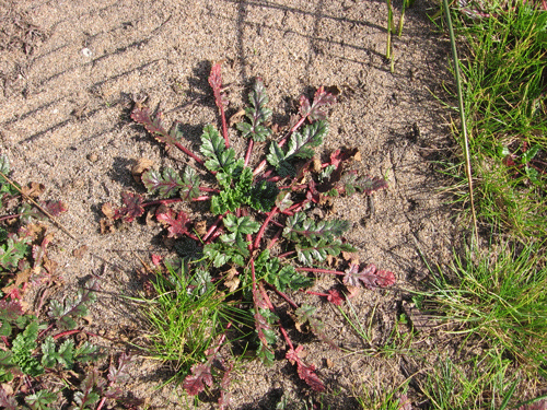
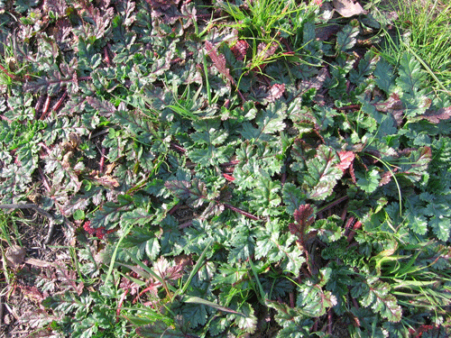
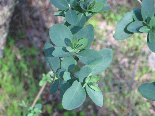
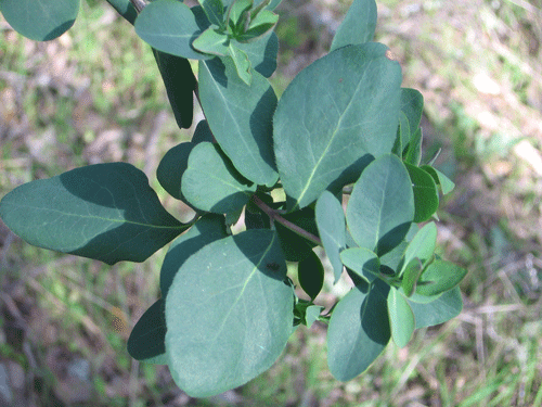
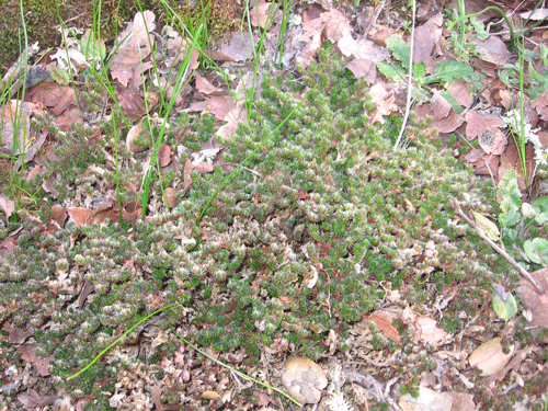
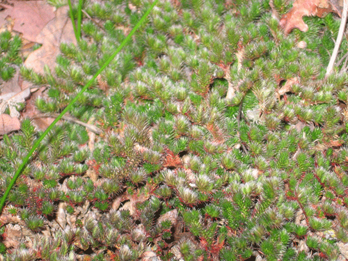
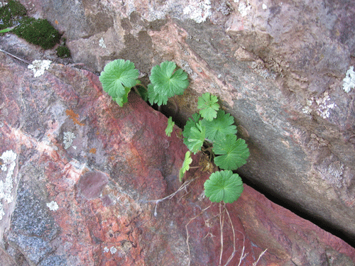
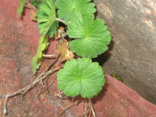
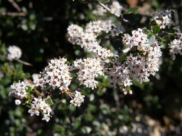
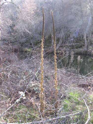
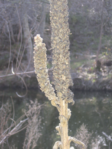
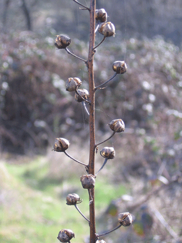
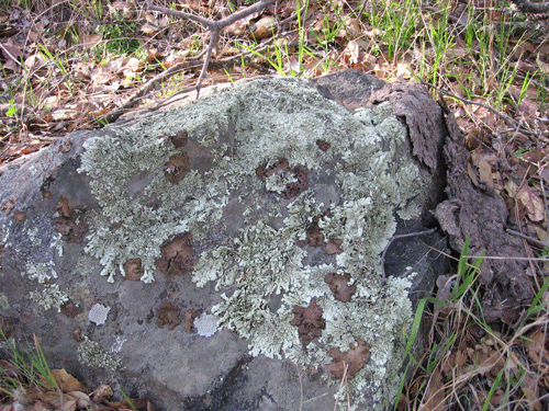
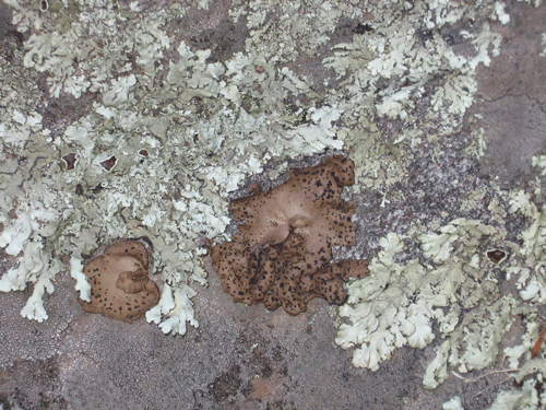
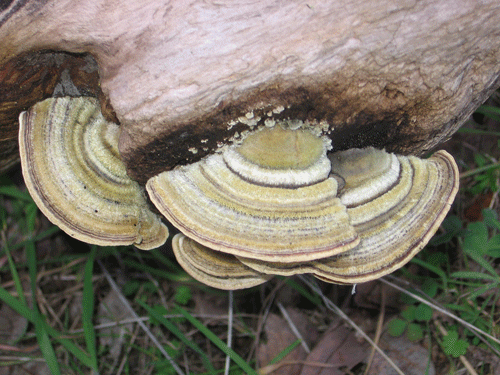
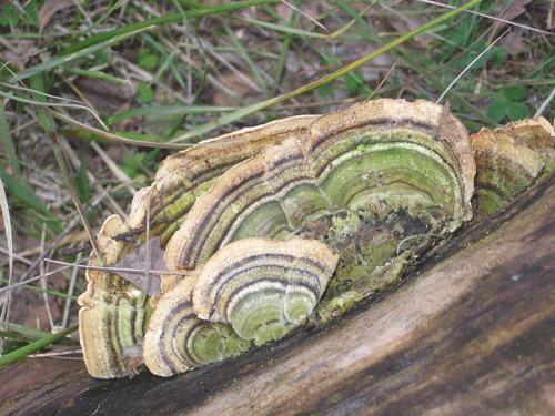
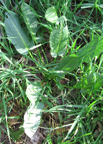
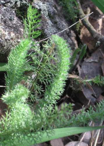
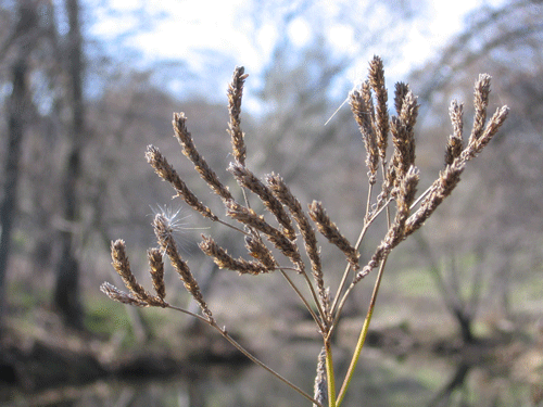
The Spenceville flora (a checklist of plants) of the wildlife area consists of approximately 275 vascular plant taxa (including subspecies and varieties), complemented by lichens and bryophytes (mosses, liverworts, and hornworts). The flora is primarily holoarctic in floristic makeup, with a nearly direct topographic link to the Sierra Nevada on the east. The flora is also influenced by the Madro-tertiary flora from the south. Of the 275 vascular plants on the checklist, 240 (87.3%) are native and 35 taxa (12.7%) are nonnative, significantly better than that for the flora of California as a whole, which has a 75%:25% native:nonnative ratio. This ratio tells us that the natural habitats have been little disturbed by human influences compared to many other areas of California. Very few vouchers for the vascular plant flora have been collected and deposited into public herbaria from the Spenceville Wildlife Area. No surveys of the lichen or bryophyte floras of the wildlife area have been conducted, that I am aware of anyway.
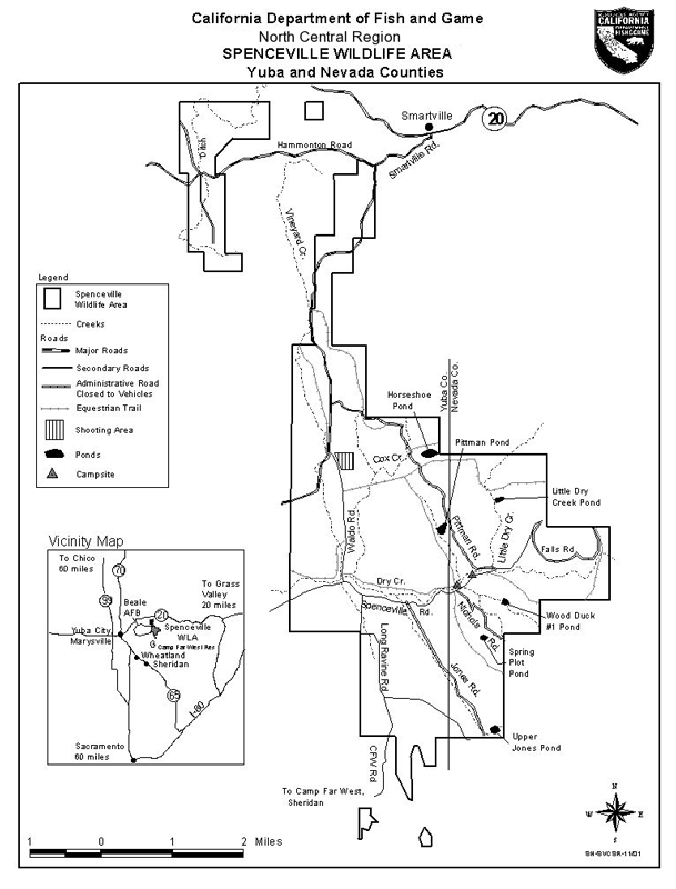
Map of Spenceville Wildlife Area