Cohan Development Lot 30 Wetland Delineation Photographs
24 February 2005
Below are selected photographs of datapoints where data were gathered on hydrology, soils, and vegetation in order to determine the presence or absence of jurisdictional wetlands and/riparian wetland habitat in Newbury Park (Thousand Oaks), Ventura County, California.
All photos copyrighted by David L. Magney 2005.
This page updated 16 May 2005.
Site Photographs
Wetland Delineation Plots C - D Photos
Wetland Delineation Plots E - F Photos
Wetland Delineation Plots G Photos
Cohan Lot 30 Home
Photos of Cohan Lot 30 - Centex Development Site Wetland Delineation Datapoints
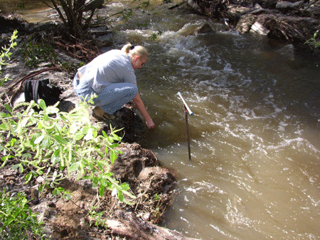
Wetland delineation plot A1, in South Branch Conejo Creek, just upstream from the Maurice Drive bridge.
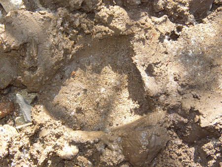
Plot A2
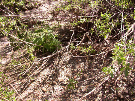
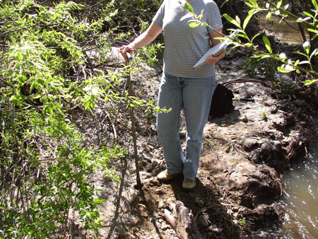

Plot A3
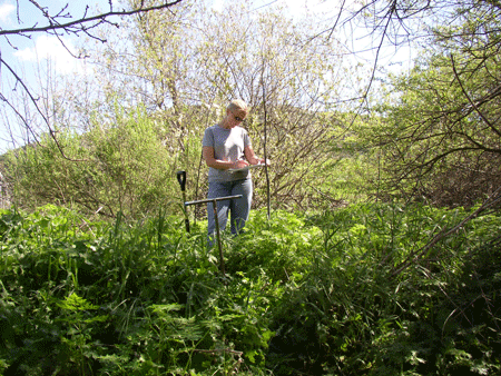
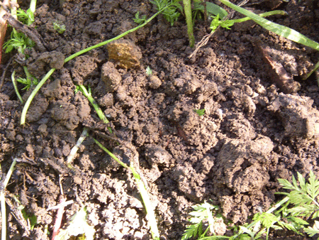
Plot A4
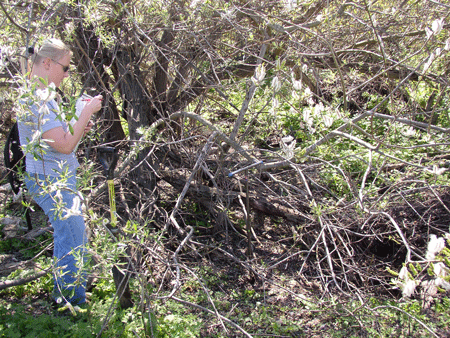
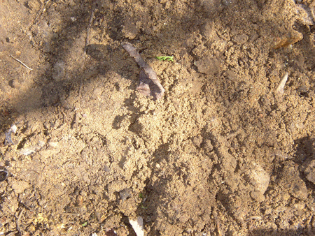
Plot A5
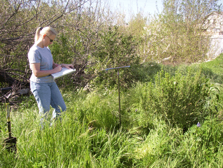
Plot B1
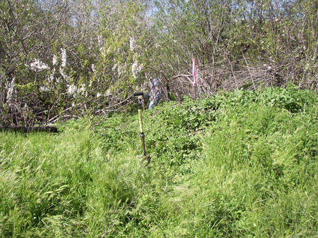


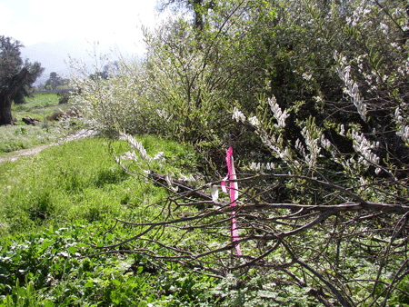
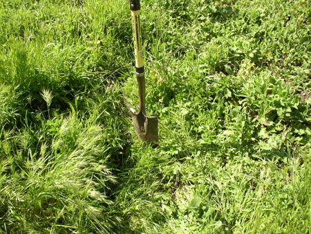
Plot B2
Cohan Lot 30 Home
Photography Site Map
DMEC Home


