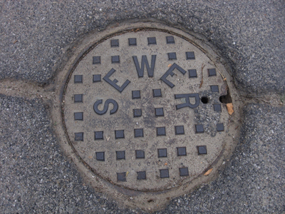
Manhole Covers of Maricopa, Kern County, California
Created 13 December 2008
This page was last updated on 13 December 2008
All photos copyrighted by David L. Magney 2008
Manhole Covers of Maricopa, California
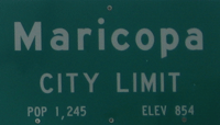
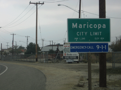
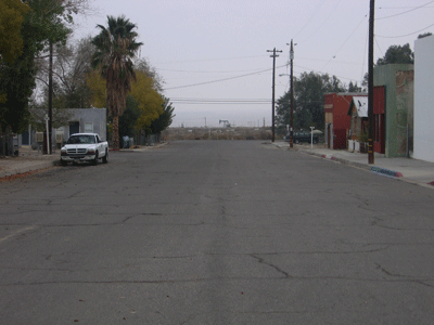
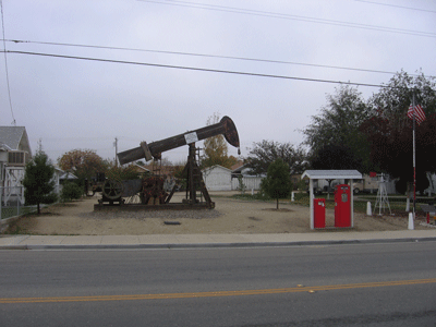
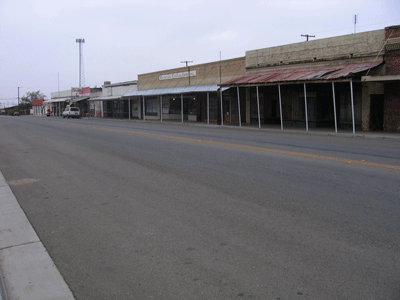
Maricopa is an oil town in western Kern County located on State Routes 33 and 166 that was incorporated on 25 July 1911. It has a population of about 1,111, of which 85.9% are White, 13.5% are Hispanic, and 2% are Native America. The median family income of $27,917 and a per capita income of $15,692. Maricopa was named in 1903 when a station on the Sunset Western Railroad was established. It occurs at 854 feet above sea level, at the base of Grocer Grade and foot of the Temblor Range.
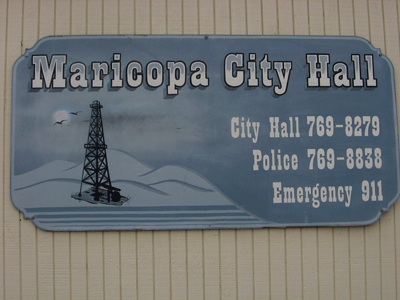
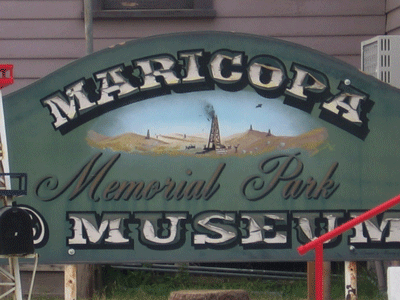
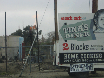
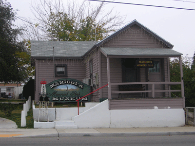
Oil was discovered just northeast of Maricopa at the southern end of the Midway-Sunset oilfield in 1910. Oil fields surround Maricopa, and the smell of hydrogen sulfide gas can be very strong at times. The better homes are built on small hills, which places the houses above the rotten edge odor. High concentrations of Hydrogen Sulfide gas can be deadly. There is a small museum in town, which should be visited.
Additional information about Maricopa can be found at Maricopa Info and at the Maricopa City website.

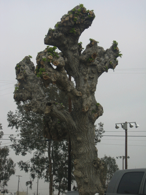
Unfortunately, someone in Maricopa hates trees to have "pruned" this tree so badly. Such a person should never be allowed to shade themselves from the hot sun under a tree.
Previous Page |
Next Page
Magney's Manhole Covers Home Page
Magney's Biogeography/Photography Home Page
David Magney Environmental Consulting Home