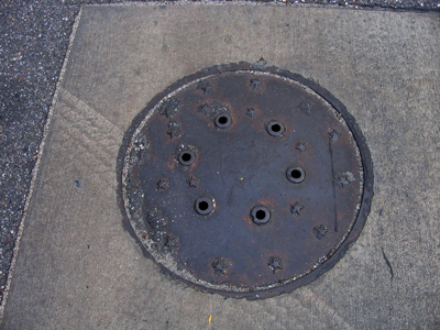
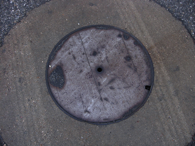
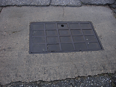
Manhole Covers of Taft, Kern County, California
Created 12 March 2006
This page was last updated on 23 November 2008
All photos copyrighted by David L. Magney 2006
Manhole Covers of Taft, California
Taft is an oil town in western Kern County located on State Routes 33 and 119. It has a population of about 6,400, of which 83.2% are White and 15.6% are Hispanic. The median family income of $42,468 and a per capita income of $17,564. Taft was originally named "Moron" (an interesting story in itself) but that name was changed after World War I.

The movie, "Best of Times", starring Robin Williams and Kurt Russell, was filmed in Taft. I once saw a bumper sticker on a pickup truck in Taft gas station proclaiming that its girls where "Tuff Muffs". Another drive through found my car breaking down in Taft on my birthday. I spent the day in the Western Kern Oil Museum, which is a really neat historical museum.
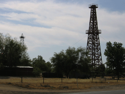
I have done a fair amount of field work in the Taft area in the late 1980s and early 1990s, looking for rare plants and wildlife, and have tromped all around the oilfields north (in Fellow/Midway-Sunset) and south of town, and staying in some of Taft's finest hotels (that isn't saying much). One project had us surveying all the natural drainages downstream of the oilfields, characterizing the condition of the oil residue. See, the oil companies in the old days (up until the 1960s or so) used to use the creeks for oil pipelines instead of real pipes to convey the crude oil from the active wells to collection ponds. That left a lot of old crude oil around, seriously degrading the habitat of the ephemeral creeks. The old crude oil that was still wet and/or sticky would entrap any wildlife that happened to step in the oil, and usually died, similar to what happened at the La Brea Tar Pits but on a much smaller scale. This became a real problem for the oil companies when endangered species, such as the San Joaquin Kit Fox or an endangered Kangaroo Rat got trapped and died, so we characterized the leftover stuff to identify what areas needed to be cleanup to prevent such things happening in the future. The oilfields around Taft have produced more oil than anywhere else in California, and have been producing oil for nearly 100 years now. The first extractions, at a natural seep near Maricopa, south of Taft, consisted of filling buckets with asphaltum, by hand. Very dirty work, and labor intensive. Then add the difficulty of working in the summer heat and breathing in hydrogen sulfide gas (a deadly gas), and life was not pleasant for the early oilfield workers, and sometimes downright deadly.
Additional information about the Taft can be found at Taft Info. If you specifically travel to Taft to see the manhole covers there, be sure to visit the Western Kern Oil Museum, I think it is one of the best. It also has a native plant garden, a real surprise in such as town.
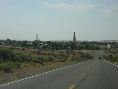
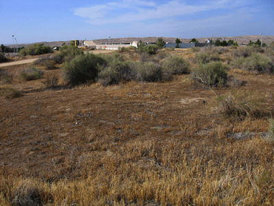
Below are some photos of Taft as seen from the south and west. The natural vegetation around Taft consists of California Annual Grassland and Chenopod Scrub, dominated by Fourwing Saltbush (Atriplex polycarpa) and Spiny Saltbush (Atriplex spinifera). There are many wildflowers in this habitat during the spring, early spring, and many plant and wildlife species endemic (restricted and native) to this very arid (desert) environment.
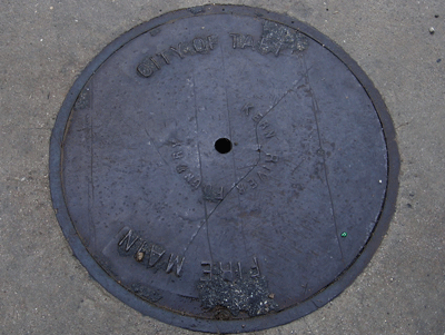
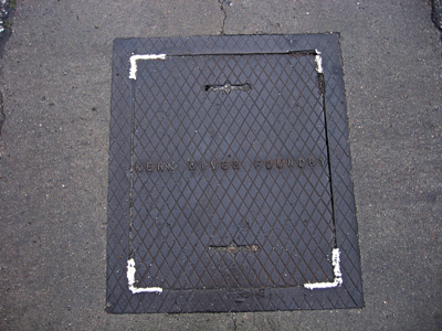
Very few manhole covers actually tell you where you are. Below left is one that says "CITY OF TAFT FIRE MAIN".
Previous Page |
Next Page
Magney's Manhole Covers Home Page
Magney's Photography Home Page
David Magney Environmental Consulting Home