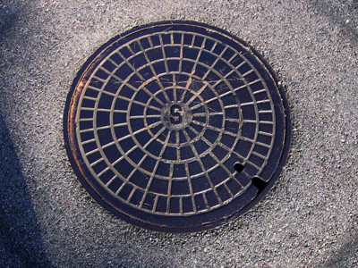
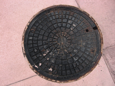
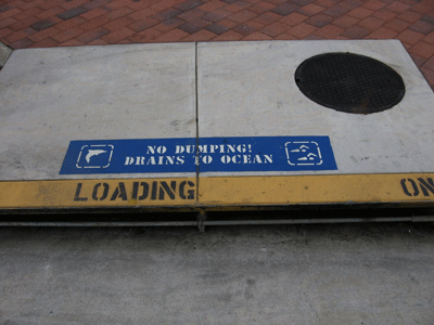
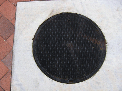
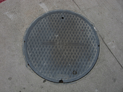
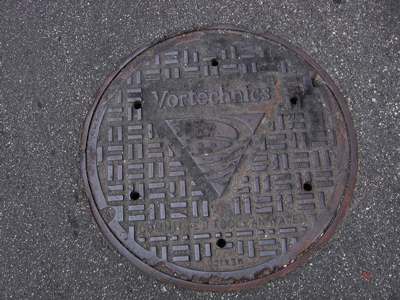
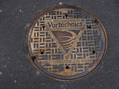
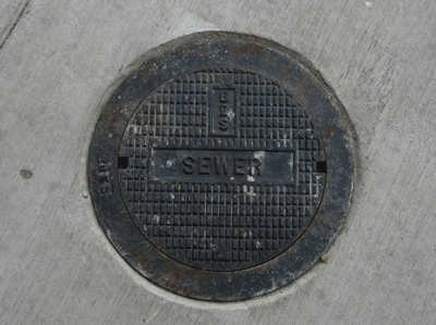
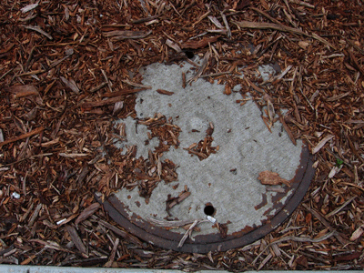
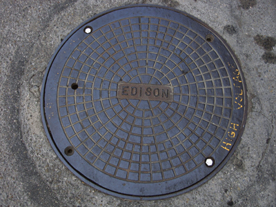
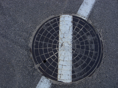
Manhole Covers of Oxnard, California
Created 3 June 2006
This page was last updated on 25 November 2008
All photos copyrighted by David L. Magney 2006
This is a study of manhole covers of Oxnard, Ventura County, California.

Counter Stats

unwired Counter
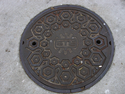
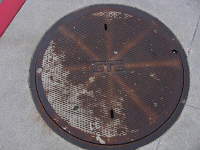
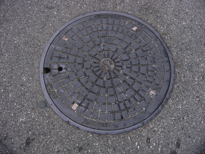
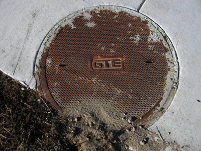
Manhole Covers of Oxnard, Ventura County, California
Oxnard is a medium-sized rural city in southern Ventura County at the western end of the Oxnard Plain, and includes Mandalay Beach, at an average elevation of 52 feet above sea level, almost certainly measured in downtown near the civic center. The City of Oxnard, was founded in 1897 by Albert Maulhardt and other local farmers. It was incorporated on 30 June 1903, naming it after the Oxnard brothers for their investment in the large sugar beet factory they built northeast of Saviers and Wooley Roads (Five Points), after being frustrated by bureaucracy from naming after a Greek word for "sugar" (gleukos or glykys, or some form of one of these). Oxnard currently has a population of about 200,000 people (2000), composed of 42.1% Whites, 66.2% Hispanics, 7.4% Asians, and 3.8% African-Americans.
Oxnard was originally settled by the Chumash Indians, who where largely replaced by Spanish emigrants under Spanish colonization, with a land grant issued by the Mexican government as Rancho El Rio de Santa Clara o La Colonia. American farmers who settled the area after 1850 grew barley and sugar beets, then lima beans. Henry Oxnard and three brothers (Ben, James, and Robert) established a sugar beet factory in 1897. The railroad came to the factory in 1898. The factory and railroad were built and operated by Chinese, Japanese, and Mexican laborers, who still represent a significant segment of the City's population. Oxnard is the home of a several manufacturing plants, including a Protor & Gambel paper plant, and the Ventura County (Oxnard) Airport.
Oxnard is mostly a bedroom community and has grown dramatically since the 1970s, paving over some of the best agricultural soil in the world. The median household income for Oxnard residents is $49,150 and the per capita income is $15,288. Three highways pass through Oxnard, U.S. Highway 101 and State Routes 1 (Pacific Coast Highway - PCH) and 34 (starting at Five Points and extending east to Camarillo on Fifth Street. Southern Pacific Railroad passes through Oxnard, with spurs leading to Port Hueneme and Point Mugu Naval Air Station (now called Navy Base of Ventura County - a name game in the name of politics). Oxnard has a nearly perfect climate, with an annual mean temperature of 60 degrees F, with a average high temperature of 70 degrees F and average low temp. of 52.4 degrees F. Onshore ocean breezes keep the temperatures mild yearround. The landscape is essentially flat, with no hills at all except the closed landfill (Bailard) at the north edge of town. I graduated high school from Oxnard High in early 1972, as semester early because I couldn't wait to get out that place (the high school that is). Additional information about Oxnard can be found at Oxnard Info and at the Official Oxnard site (be sure to visit the "History" page for some good historical information about this city.
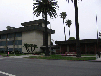
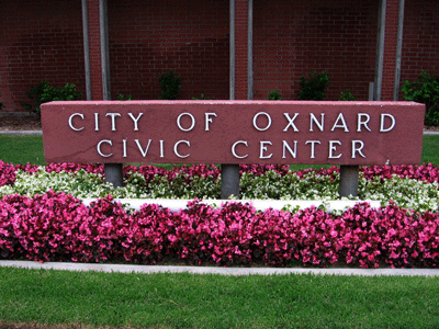
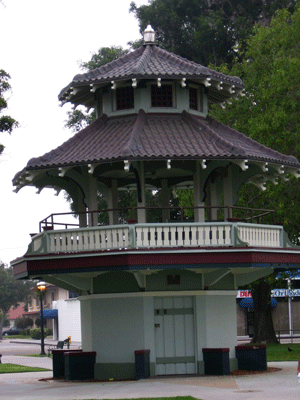
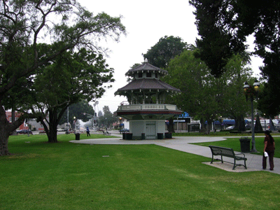
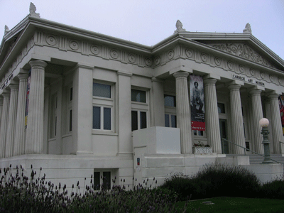
Scenes from Plaza Park and the Civic Center in downtown Oxnard, including the old Carnigue Library, now a museum.
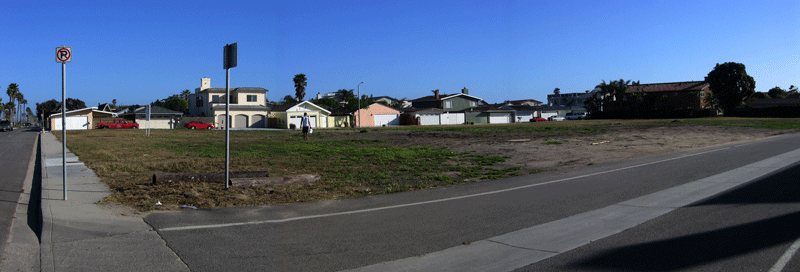
A panoramic view of a corner of Oxnard Shores.
Previous Page |
Next Page
Magney's Manhole Covers Home Page
Magney's Biogeography/Photography Home Page
David Magney Environmental Consulting Home